
Town of Rye Neighbors and Block Records
A block lookup starts with properties, not assumptions about households. Town assessment data and maps can reveal a parcel, its mailing and situs fields, and an assessed owner. The county parcel service adds geography and normalized address fields. Historic material can place a business, structure, or named person in time. None of those sources is a complete neighbor roster. Keep each result attached to the precise record type that produced it.
| Source | What It Shows About a Block | Access |
|---|---|---|
| Town of Rye AxisGIS | Target and touching parcel polygons, map layers and orientation tools | Free Town viewer |
| Town PROS assessment record | Situs, assessed owner, mailing address, SBL, value and historic-card leads | Free property search |
| County parcel query layer | Owner and property fields, municipality, school and parcel geometry | Public map service |
| Westchester land records | Recorded transfers, legal description, liens, maps and interests | WRO account or Clerk fallback |
| Local historical sources | Older household, newspaper, map and community context | Library or archive inquiry |
The key distinction is owner versus occupant. A parcel may have an owner mailing address that is different from the property address. A property owner can be an entity, an agent, or a person who lives elsewhere. Nonowner occupants, utility customers, delivery data, protected voters, and many other household details are not ordinary public block fields.
Town of Rye Neighbors on AxisGIS
Town of Rye AxisGIS supports owner, address, and parcel or SBL searching. It is map-first: locate the target parcel, zoom in, and click each polygon that touches it. The viewer also offers contours, community facilities, FEMA flood, sewer, school, water-district, and fire-district layers, along with measure and printable tax-map tools. Research did not confirm a public buffer or select-by-location tool, so map browsing is the documented method.
Write down the address and SBL for each touching parcel before comparing names. That step reduces wrong matches when names repeat or road labels differ. The County map service says municipal boundaries are approximate. Use a deed or survey for a legal boundary conclusion, and do not use the displayed polygon alone to settle a fence, access, or line dispute.
Town of Rye Parcel Fields Compared
The Westchester municipal parcel query layer separates property-address and owner-mailing data. It exposes SBL and municipal identifiers, PROPADDRESS and PROPZIP for the site, and OWNERNAME, OWNERADDRESS, OWNERCITY, OWNERSTATE, and OWNERZIP for the tax-mail trail. That separation is useful because a single parcel can legitimately show two addresses. It is also why a mailing address should never be called a neighbor’s residence without confirming evidence.
| Official field group | Block-research use |
|---|---|
| PROPADDRESS / PROPZIP | Physical property address and postal component. |
| OWNERNAME / OWNERADDRESS | Assessed ownership and tax-mail destination. |
| SBL / SWIS | Parcel keys that connect Town and county records. |
| LOC_ST_NBR / LOC_STREET | Normalized location fields that help compare address forms. |
Map a Town of Rye Neighbor Block
Move from one address to the adjacent parcels with a record trail that stays honest about scope. The goal is to understand the block’s parcel pattern, not to build a list of people. A current owner name can become a deed-search key. An SBL can link the Town record to the county trail. For a whole road rather than a few touching lots, use the more detailed Town of Rye Street Directory process.
- Search the target address, owner, or SBL in AxisGIS and open the parcel polygon.
- Click each touching polygon and note its displayed address and SBL before recording any owner field.
- Open the matching PROS assessment record to compare situs, assessed owner, mailing address, historic-card and tax-map clues.
- Use the SBL and legal description for a deed question, then stop when the research need has been answered.
Tax exemptions and a matching mailing address can be useful context, but neither is conclusive proof of occupancy. The Town cautions that a property card reflects assessor-known use and inventory, not a legal determination. Keep that warning beside any conclusion about a block.
Town of Rye Neighborhood Labels
PROS Advanced Search includes assessment neighborhood labels such as Arbors, Bellefair, Doral Green, Rye Ridge, Talcott, Brookridge, Village Green, Lyon Farm, Landmark, Kings Park, Washington Mews, Wellington Green, Westview Commons, Soundview, Sands Street, Homestead Hill, Fox Commons, and Rye Wood Farms. Those labels can help organize a property search or map comparison. They do not create a verified association, public roster, or membership directory.
No official public directory of Town neighborhood associations, congregations, block-watch groups, or HOA members was located in the research. For community history, use the Port Chester-Rye Brook Public Library’s local-history staff, its in-library Westmore News access, and the digitized Port Chester newspaper archive. Ask for publicly available historical material by neighborhood, date, or address rather than trying to infer a current membership list.
Town of Rye Neighbors in Historic Sources
The Port Chester newspaper archive offers the Journal from 1868 to 1911 and the Daily Item for 1918 and 1919. Search road names, businesses, churches, civic organizations, address variants, and neighborhood terms. A time-stamped notice can explain when a building was sold, expanded, used for a business, or associated with a local event. It cannot establish who currently lives on the block.
The 1895 Port Chester Sanborn maps at the Library of Congress contain nine sheets and help with historic structures and place labels. Pair a map with an assessment roll, deed, or newspaper citation. Historic names such as Sawpits, Lyon’s Point, Boston Post, Purchase, Clamtown, and Milton Point can be useful search terms, but the Town’s current noncontiguous geography and the independent City of Rye require careful jurisdiction checks.
Town of Rye Voter Privacy on a Block
The NYS voter lookup is a self-service registration and poll-site tool. It requires a person’s county, name, date of birth, address, and ZIP. It is not an open block or street browser. Election Law §3-220 makes registration records public under supervision while withholding identifiers such as Social Security, driver-license, and non-driver ID numbers. Election Law §3-103 also restricts statewide voter-list use to an elections purpose.
Address-confidentiality and confidential-voter protections matter here. The New York Address Confidentiality Program uses substitute addresses for eligible people, and Election Law §5-508 protects qualifying confidential registrations. Those protections are not puzzles to solve through parcel, map, library, or commercial data.
Town of Rye Neighbor Lookup Limits
Official parcel and deed records cannot identify every person in a household. They do not open utility accounts, delivery records, DMV addresses, confidential-voter data, or every renter and boarder. A Town map boundary is not a survey, an assessed owner is not automatically an occupant, and a public historical notice does not identify today’s neighbors. These limits keep a block search tied to records rather than speculation.
The NYS Board of Elections explains its voter-file FOIL procedure, including an elections-purpose statement for registration data. Its request guidance is a better starting point for a documented election-record question than treating a nearby address as a public roster.
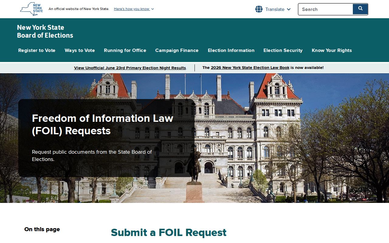
The captured guidance reinforces that a records request has a defined process and purpose. It does not turn voter information into a general Town of Rye neighbor directory.
Lawful use. Use Town of Rye neighbor records for legitimate personal, civic, property, or family-history questions. Never use an address trail to stalk, harass, intimidate, or harm someone; New York law prohibits that conduct.